
![]() …the era of mobile surveying is here!
…the era of mobile surveying is here!
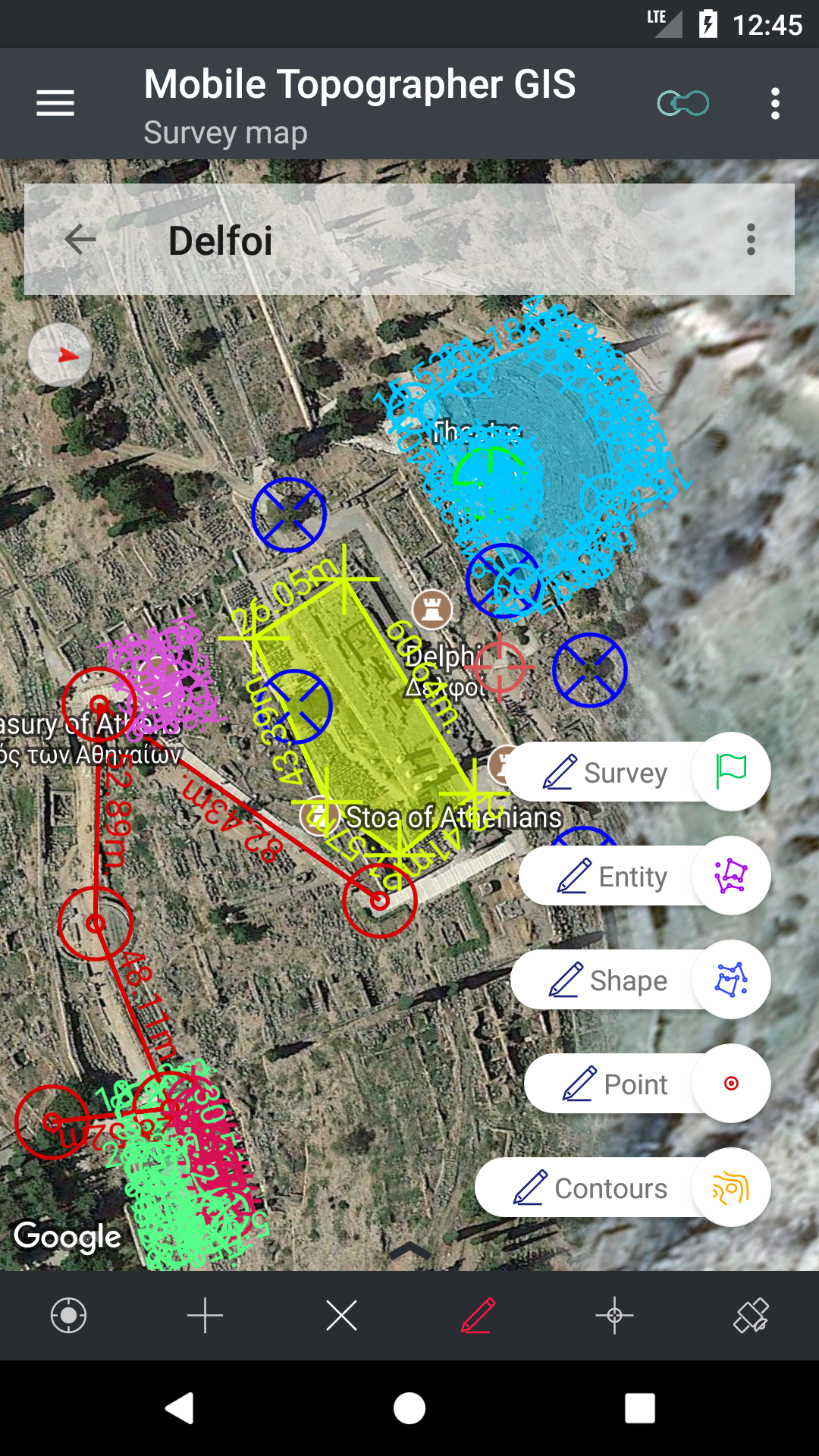
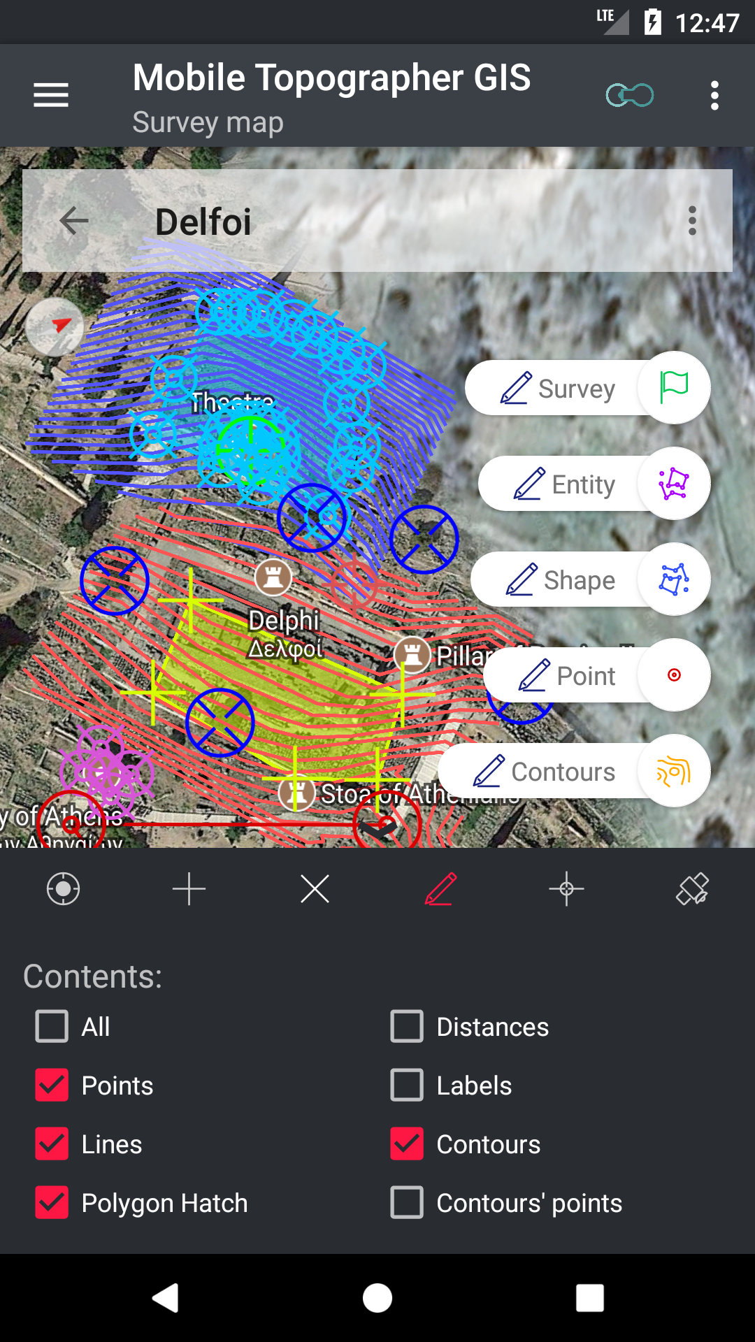
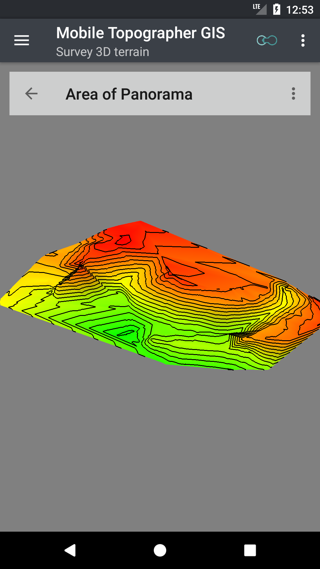
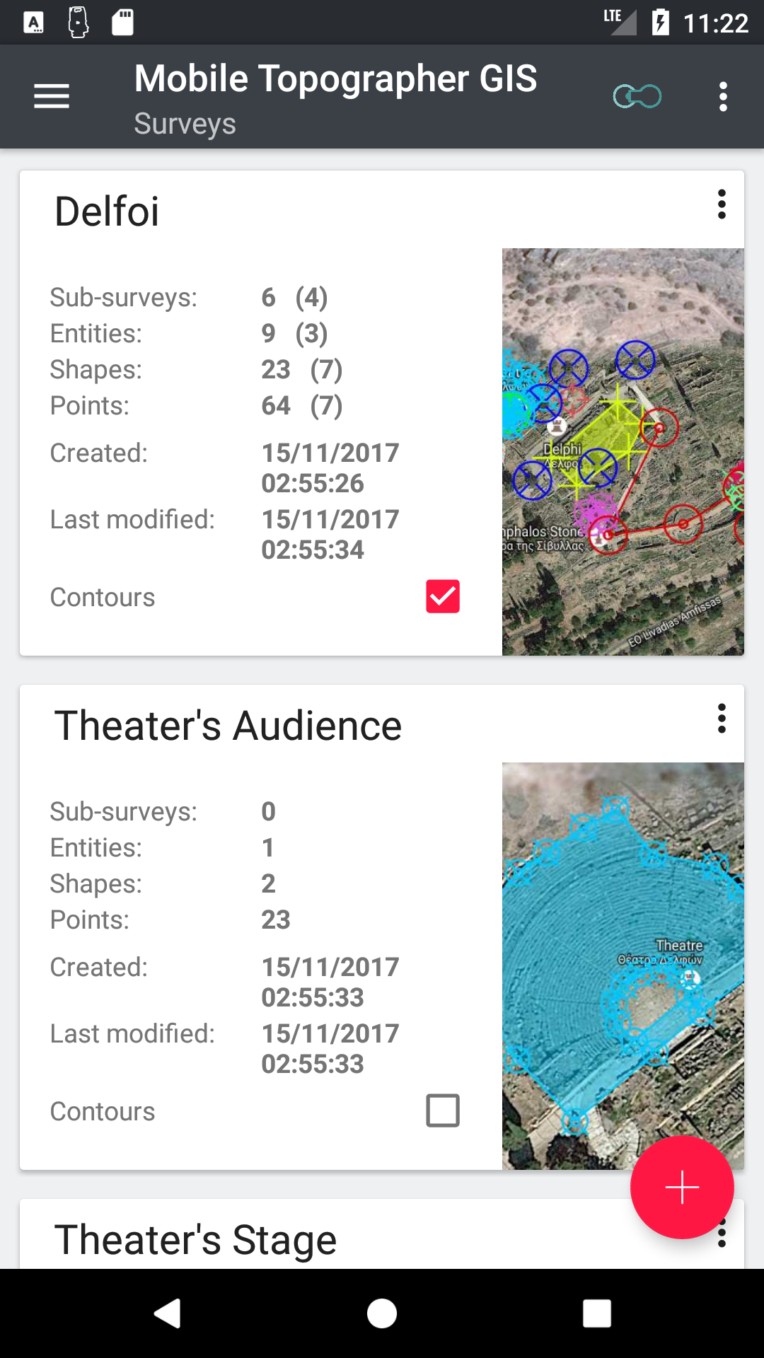
Based on our new GIS engine and using the processing power of mobile devices “Mobile Topographer GIS” is giving amazing new possibilities to the professional surveyor, fully covering his needs, at both field and office sides, with only the use of a mobile device!
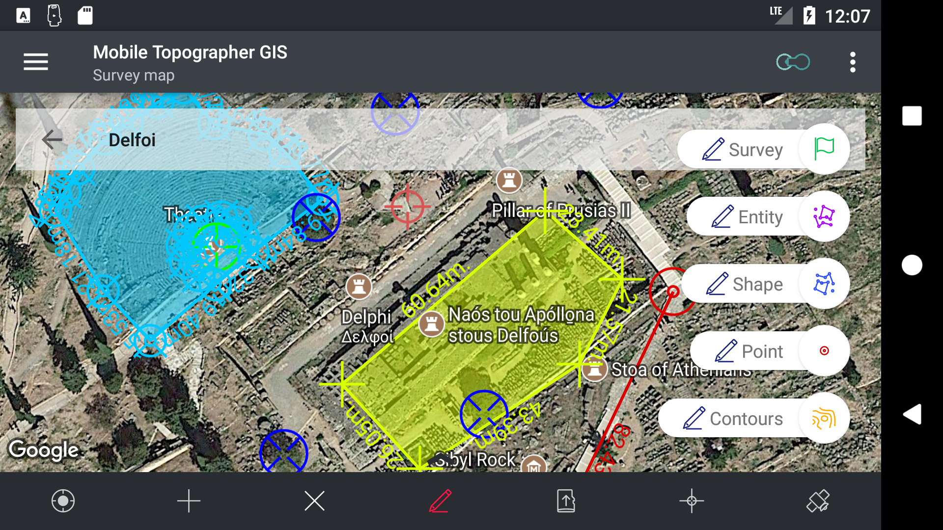
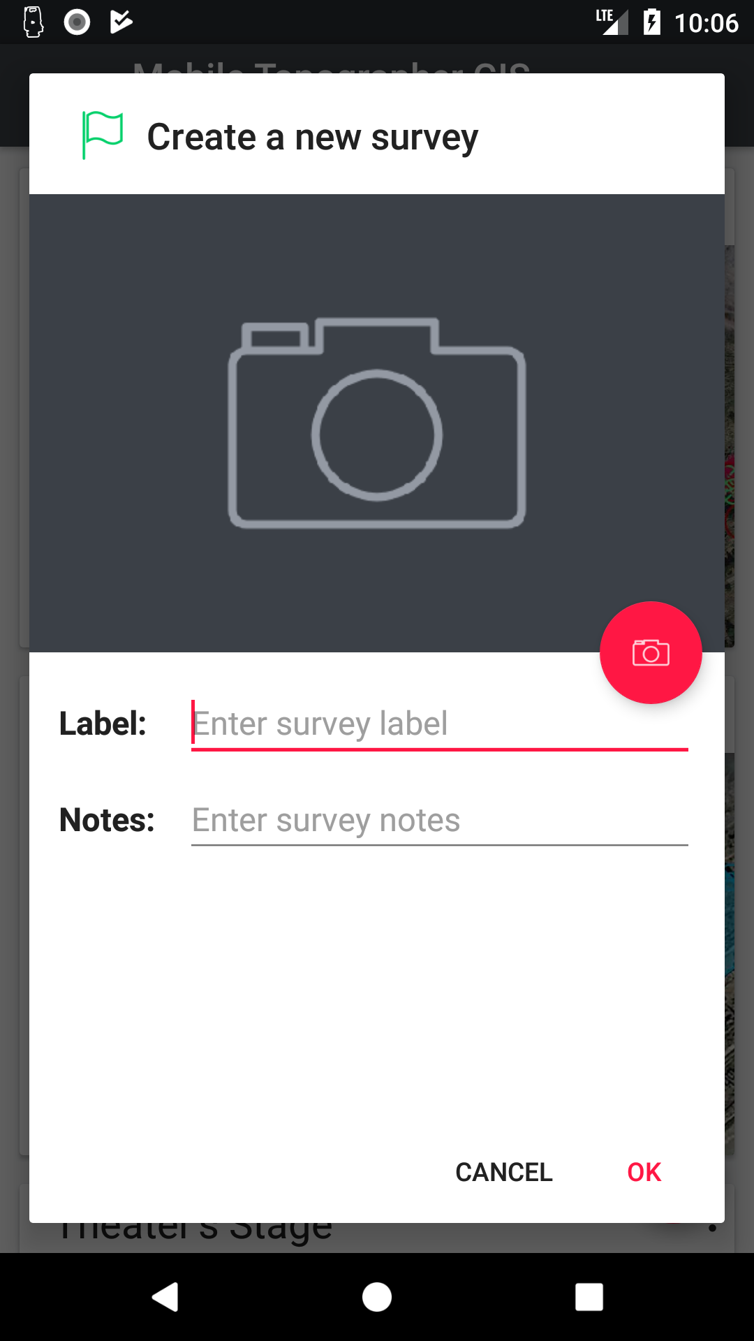
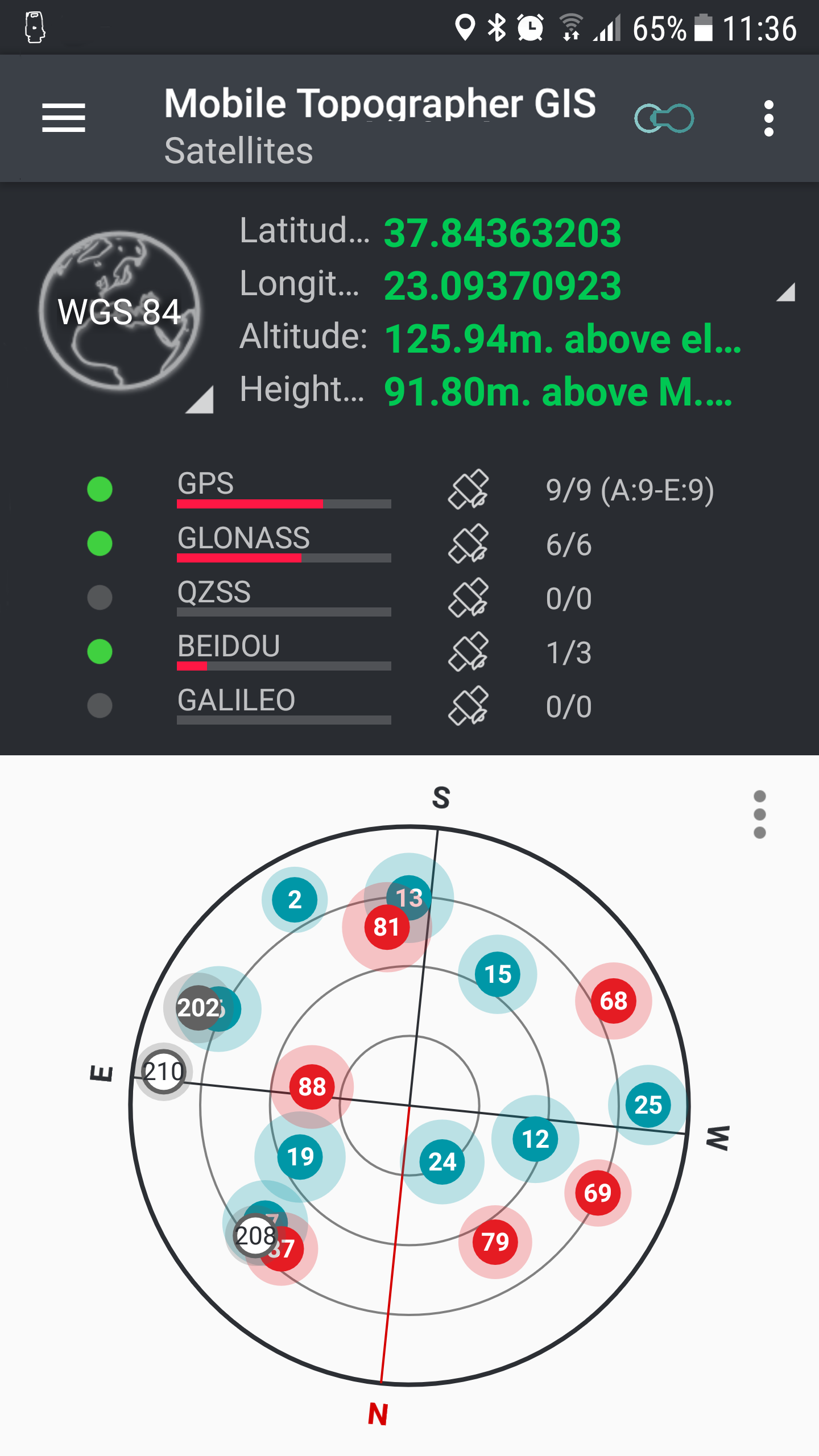
- Make an initial survey without any special equipment, just your mobile device!
- Use your mobile device as the “processing unit”, in conjunction with professional GNSS receivers to perform a complete survey and all calculations required on the field!
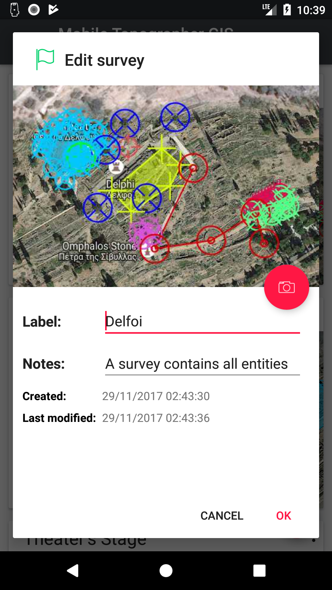
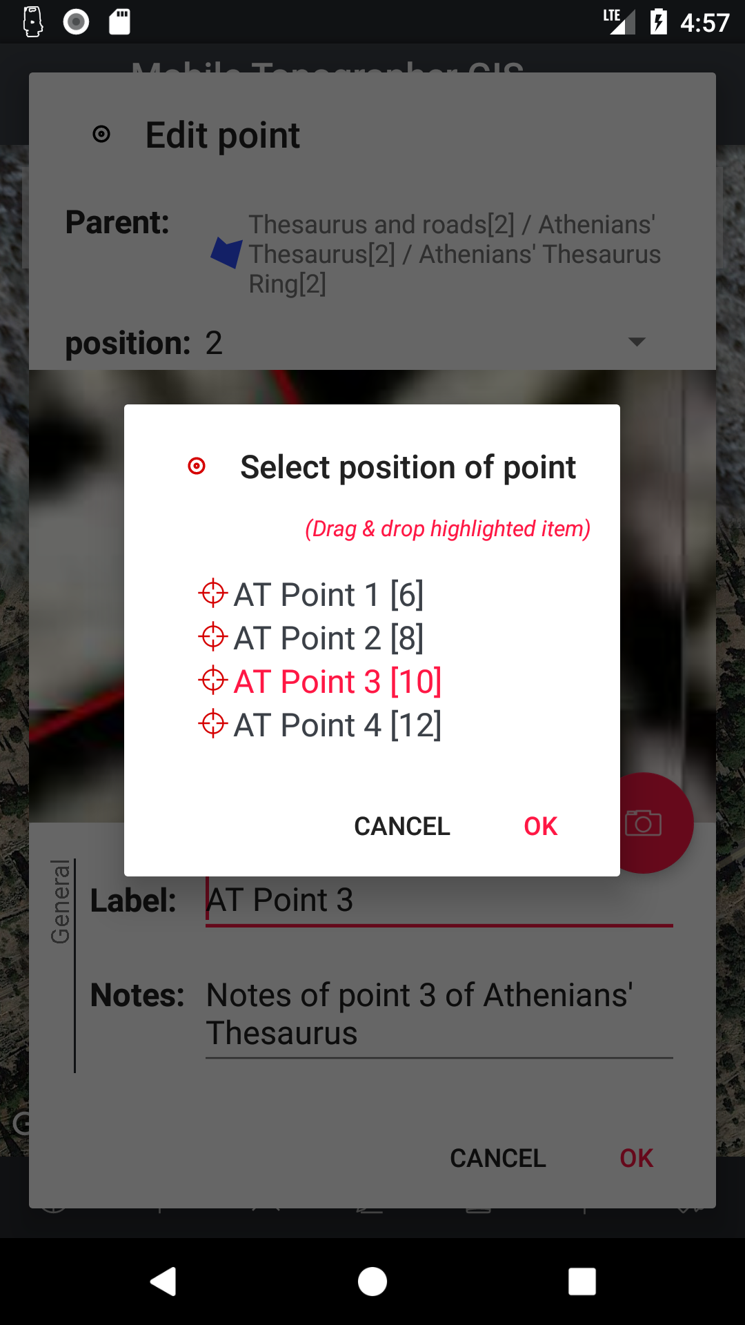
- Be able to adjust your prepared plan while on the field using your mobile device and everything will be recalculated in real time!
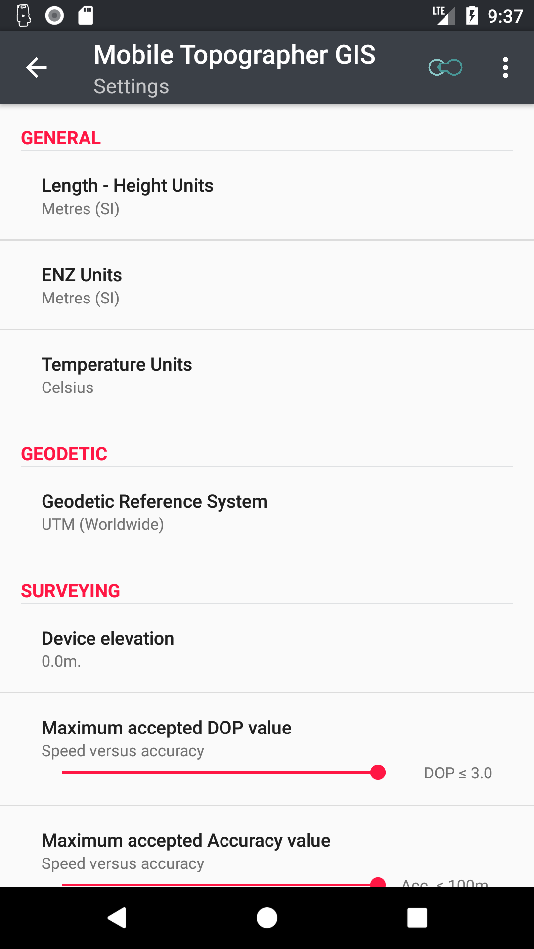
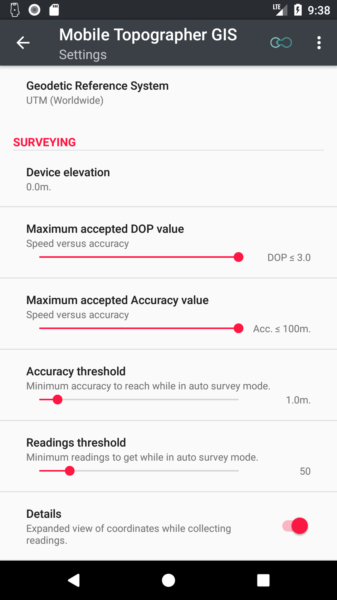
- Mobile Topographer GIS is using the strict standards of GIS science your data is compatible with any existing geo Software on your office device!
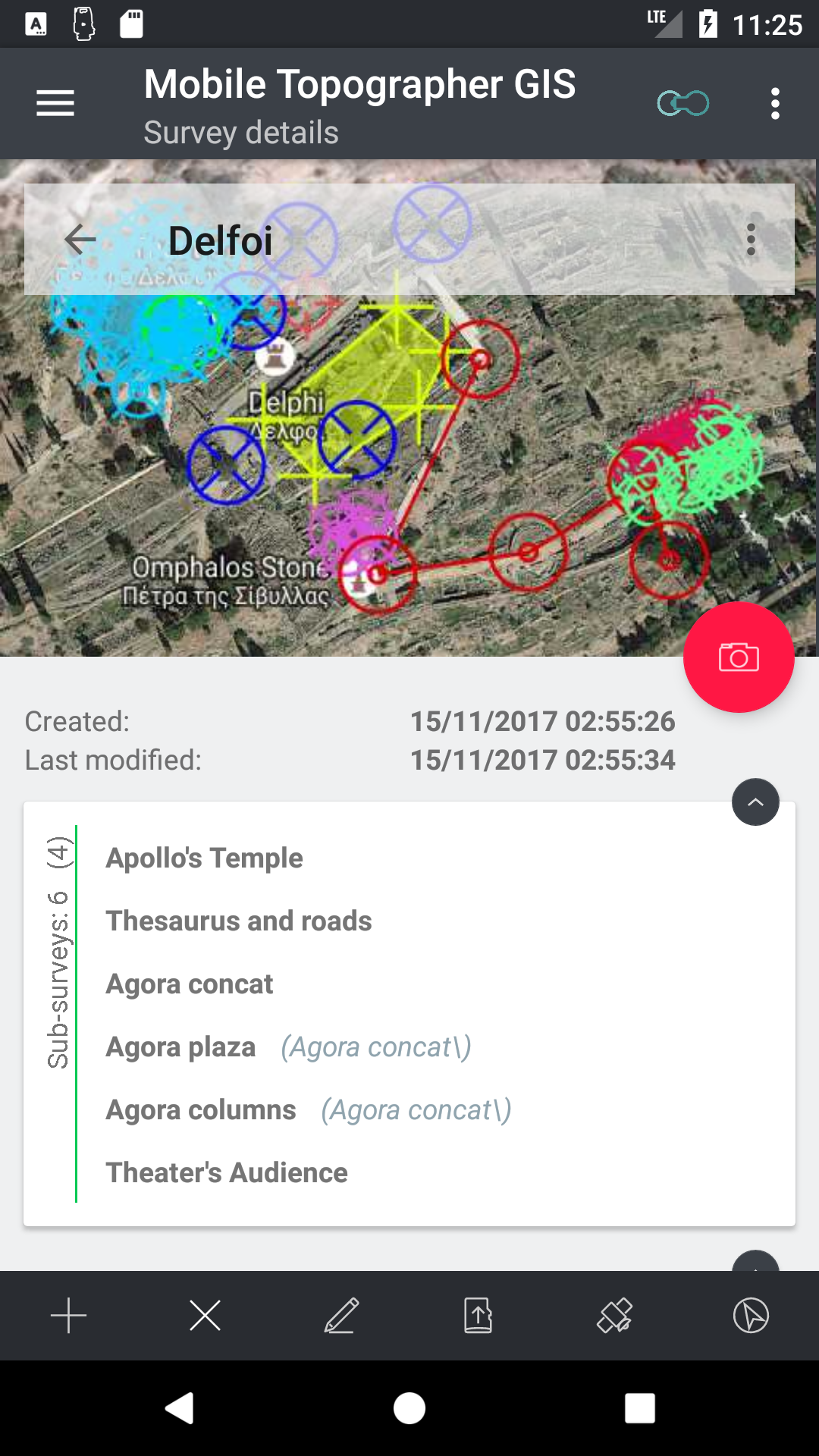
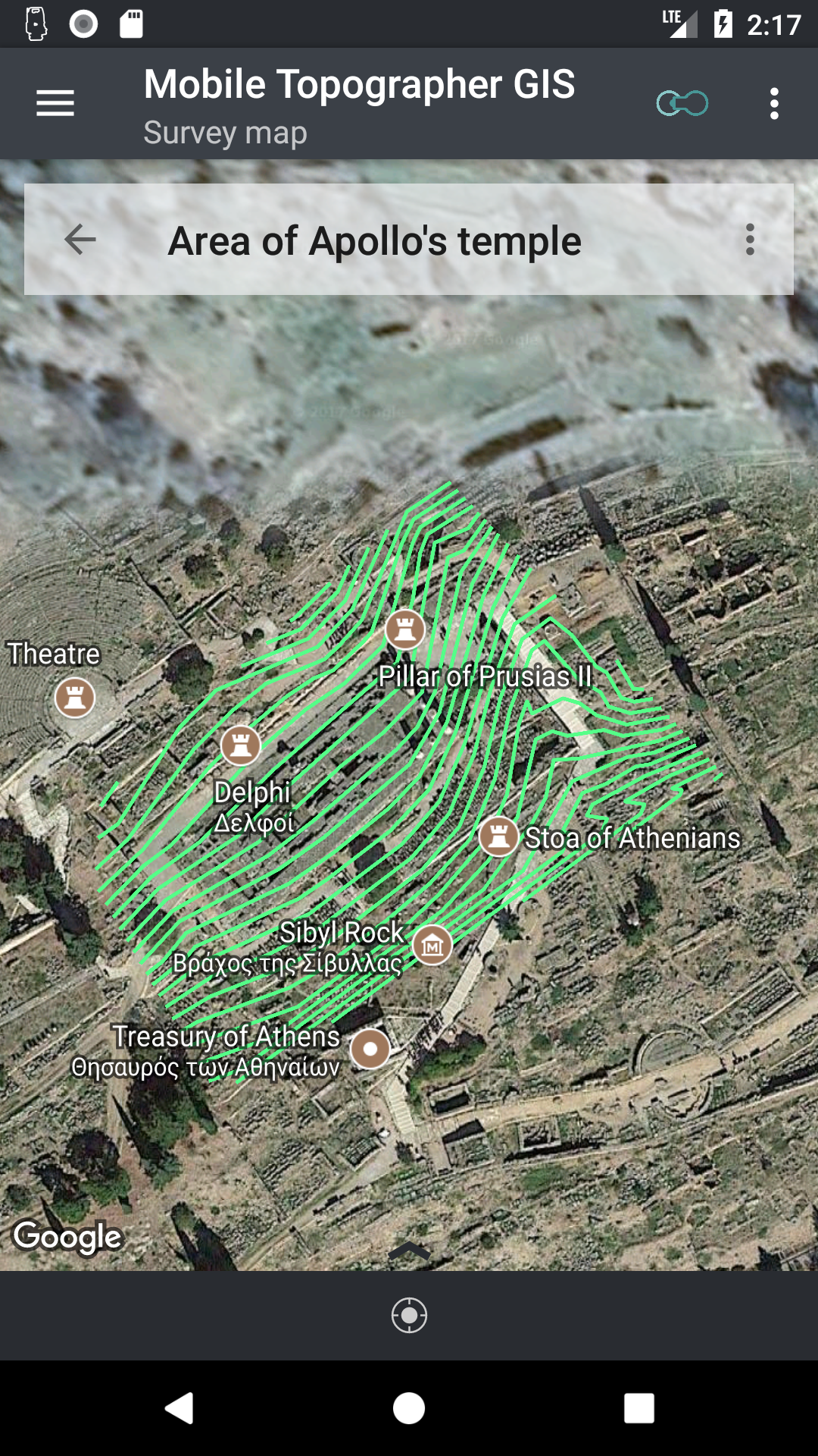
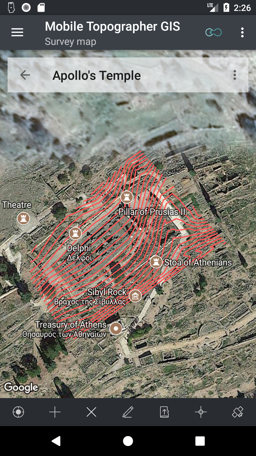
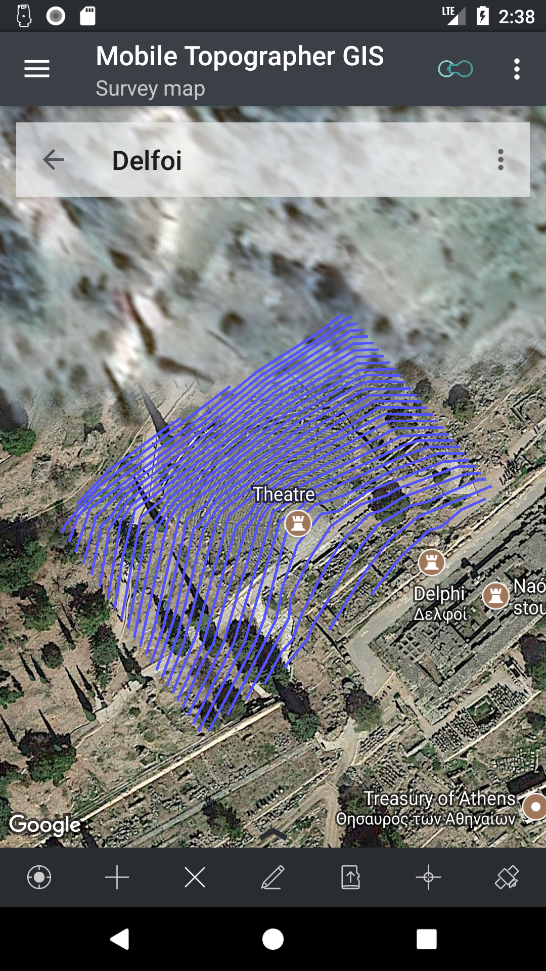
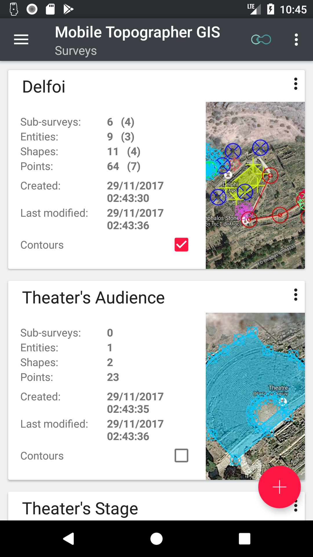
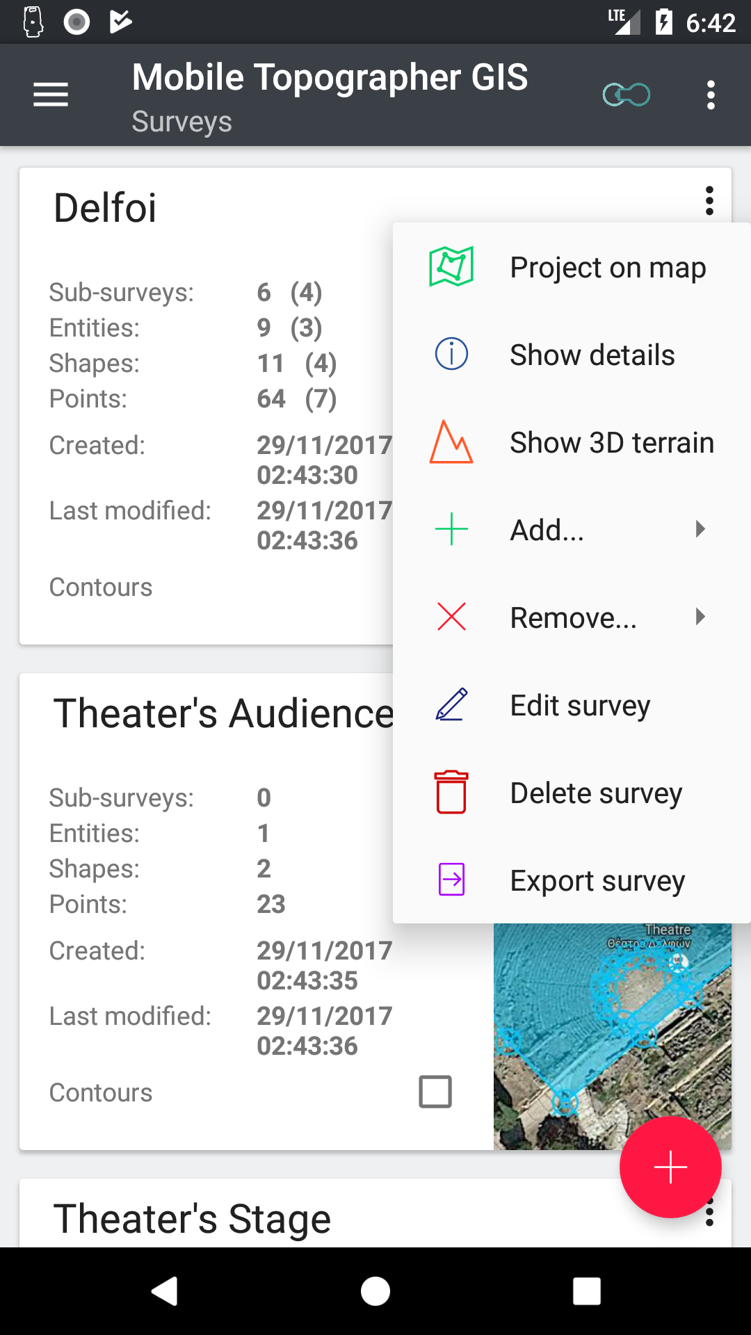
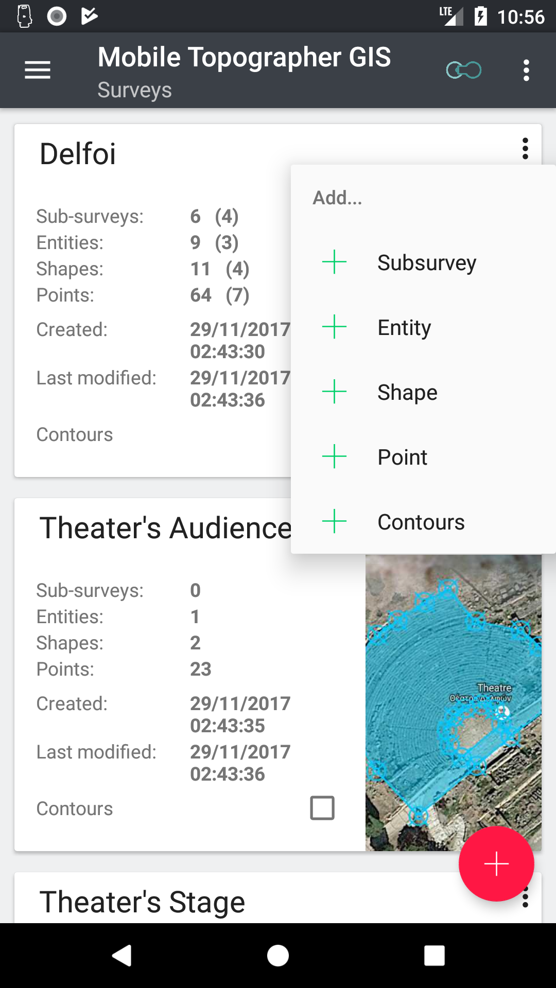
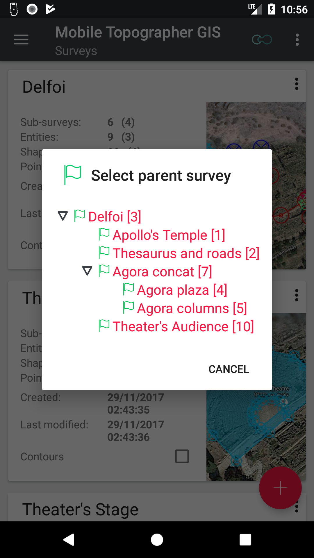
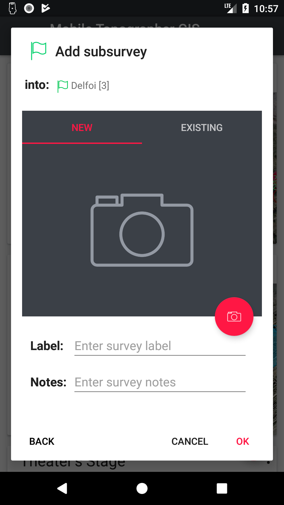
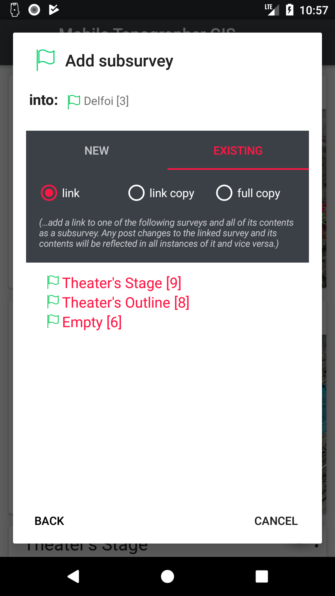
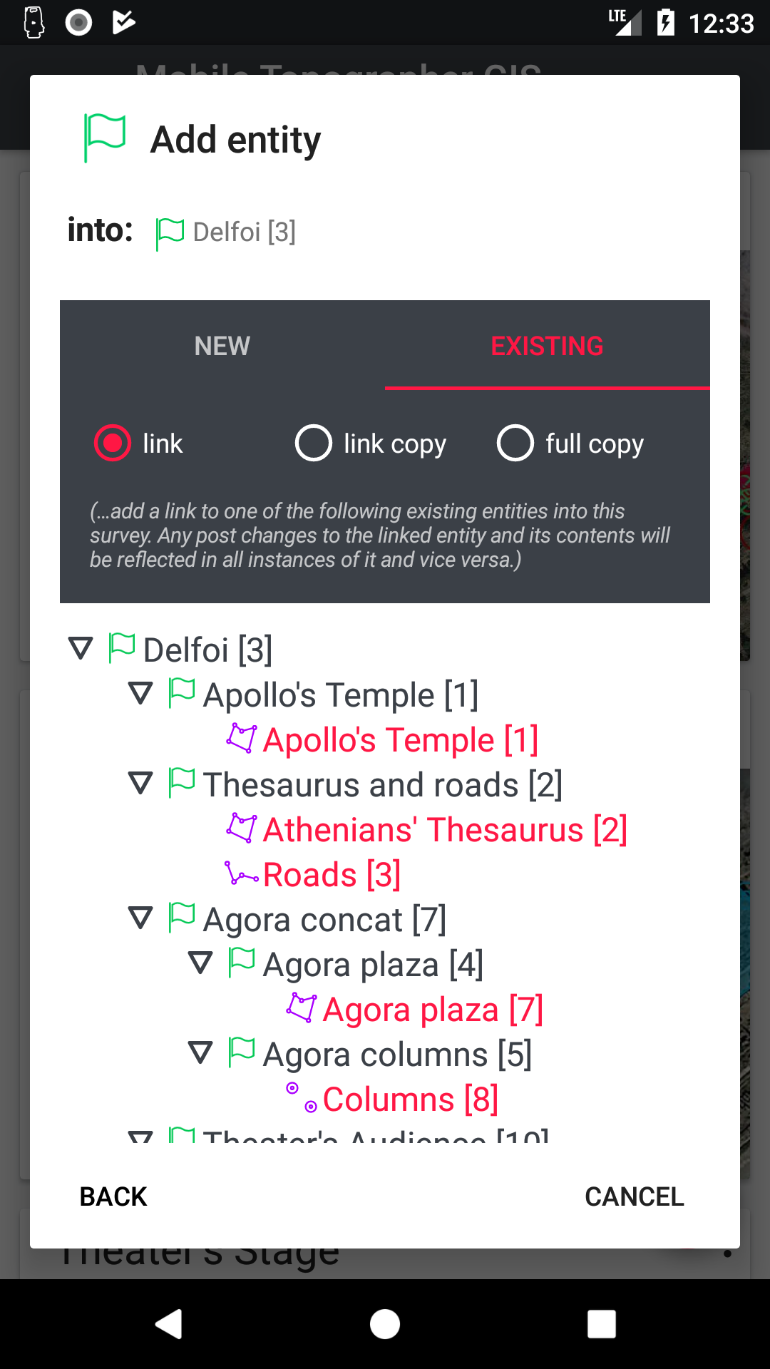
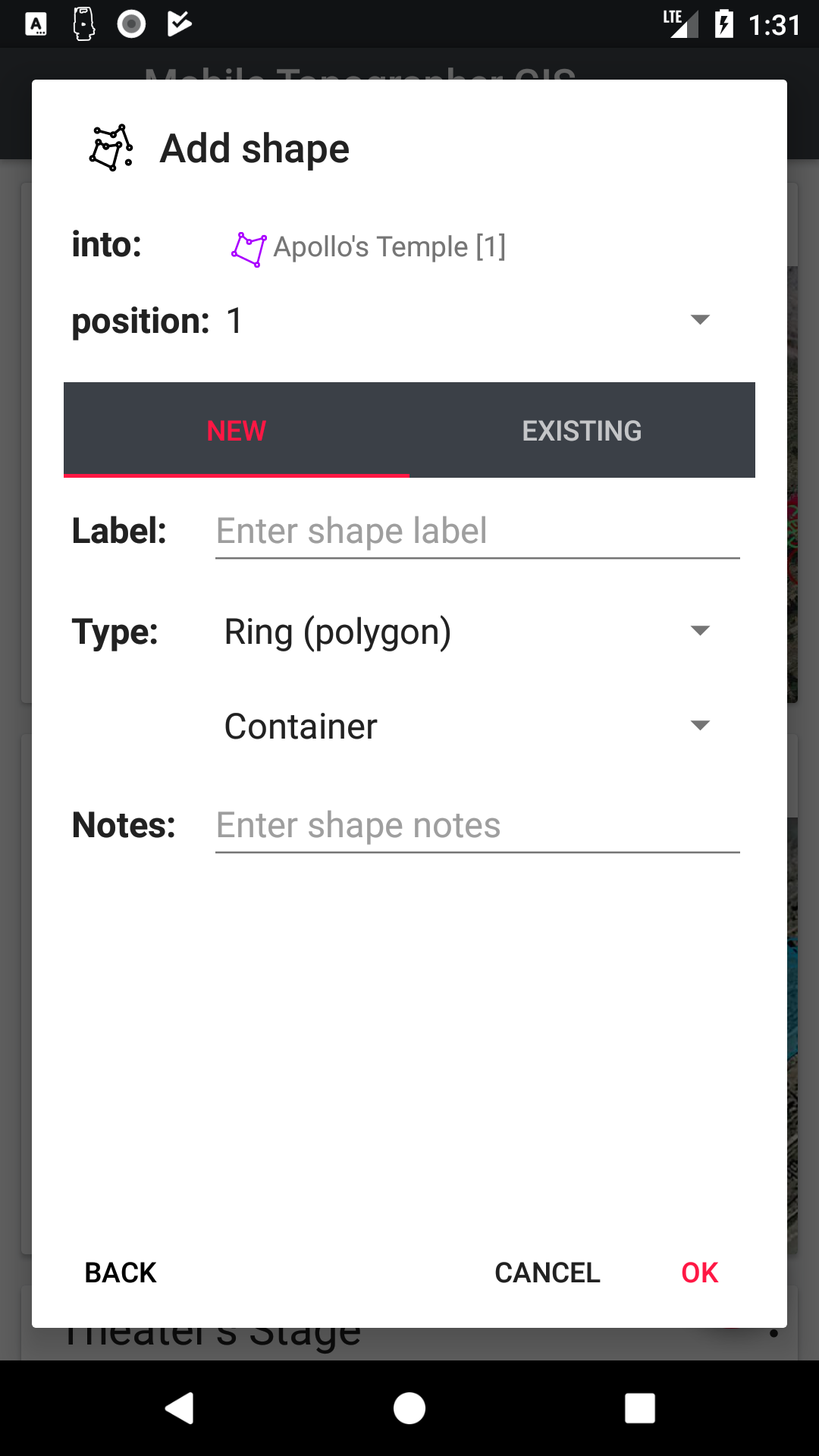
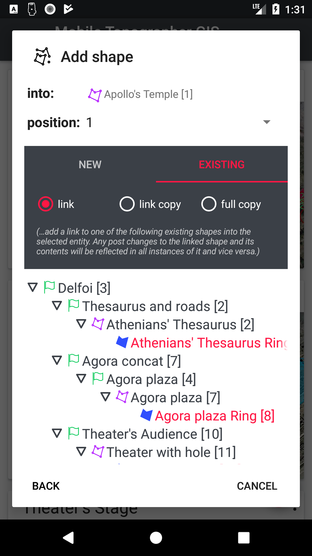
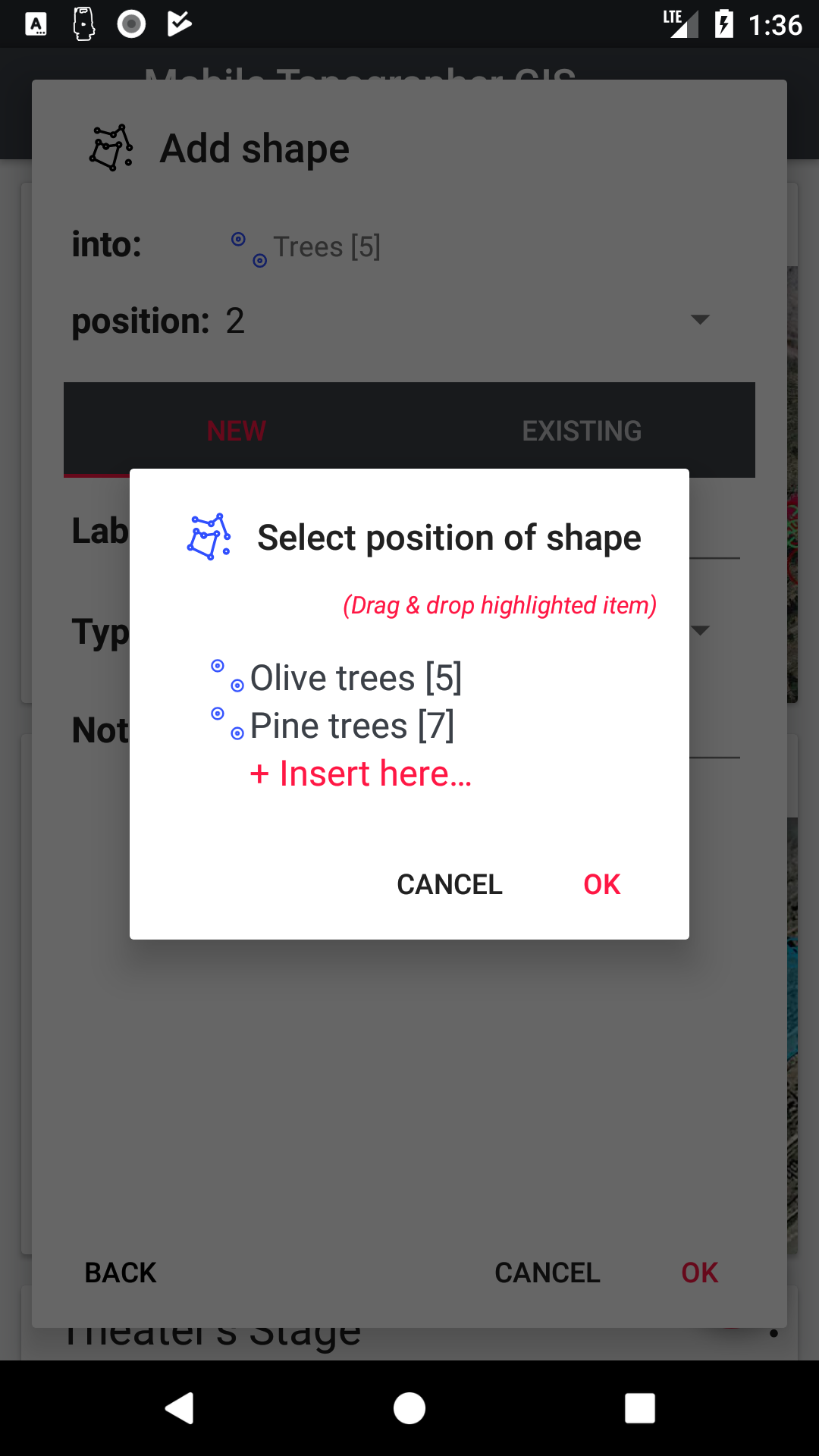
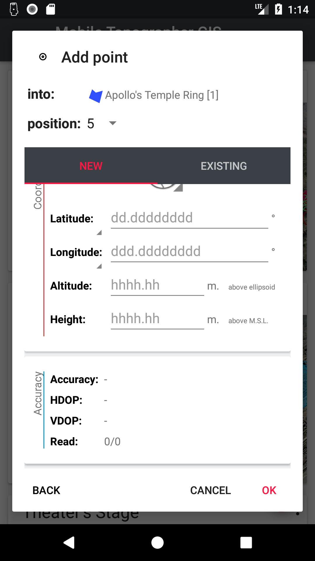
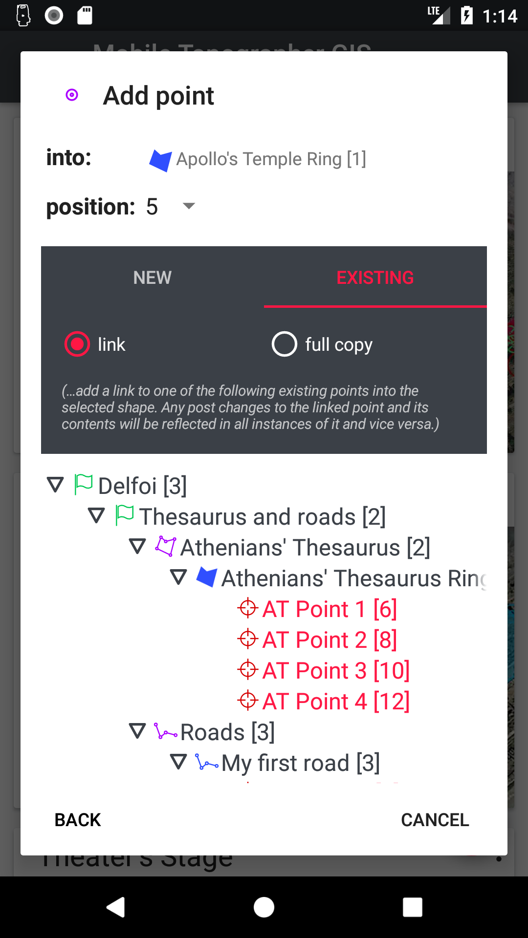
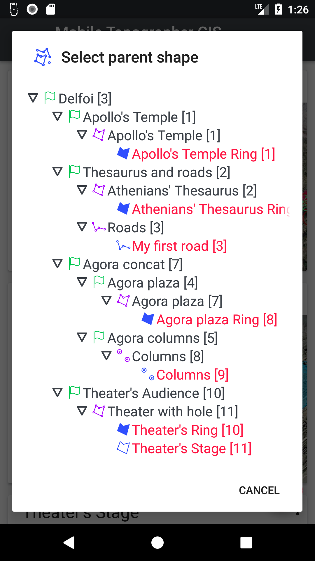
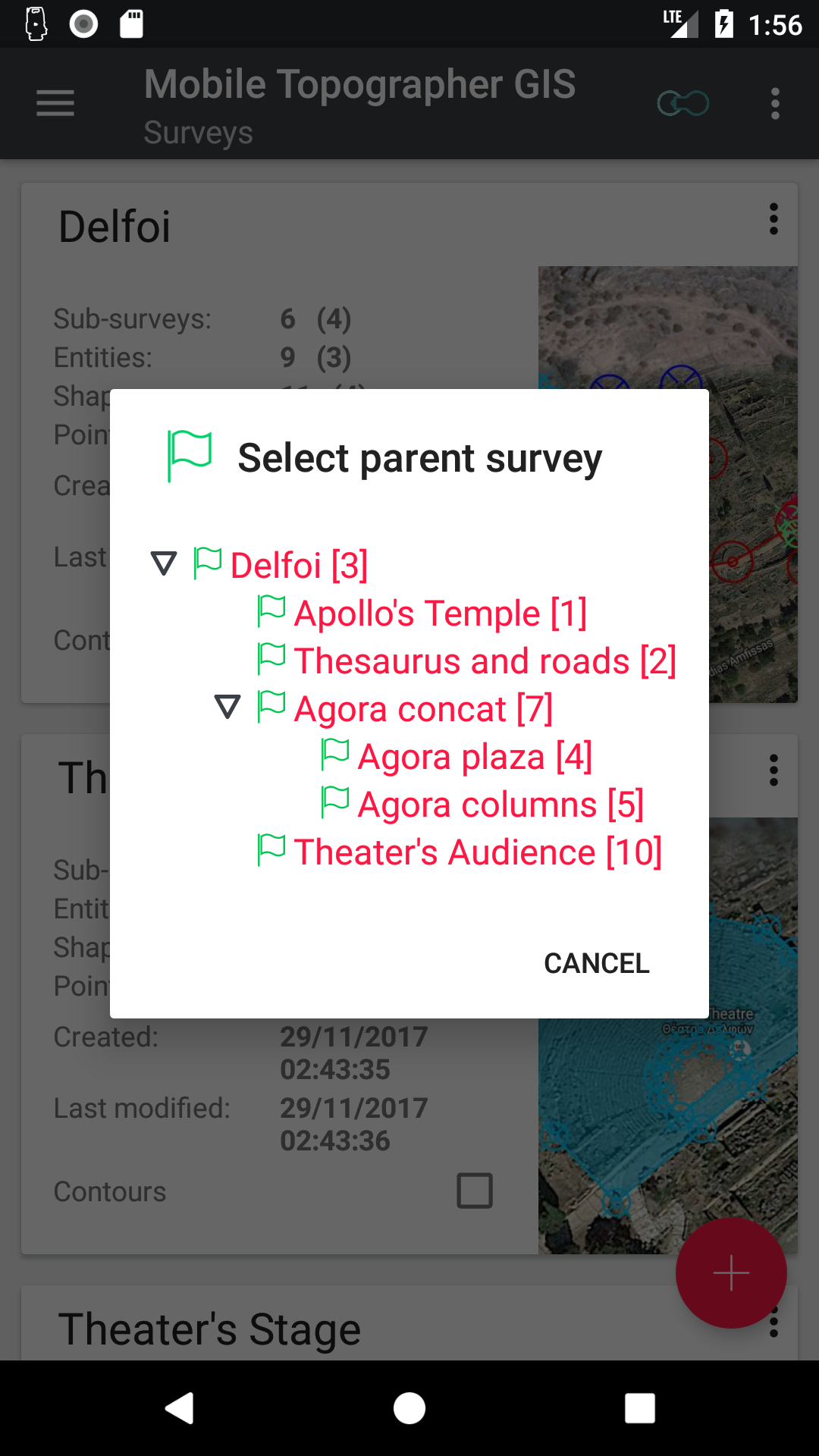
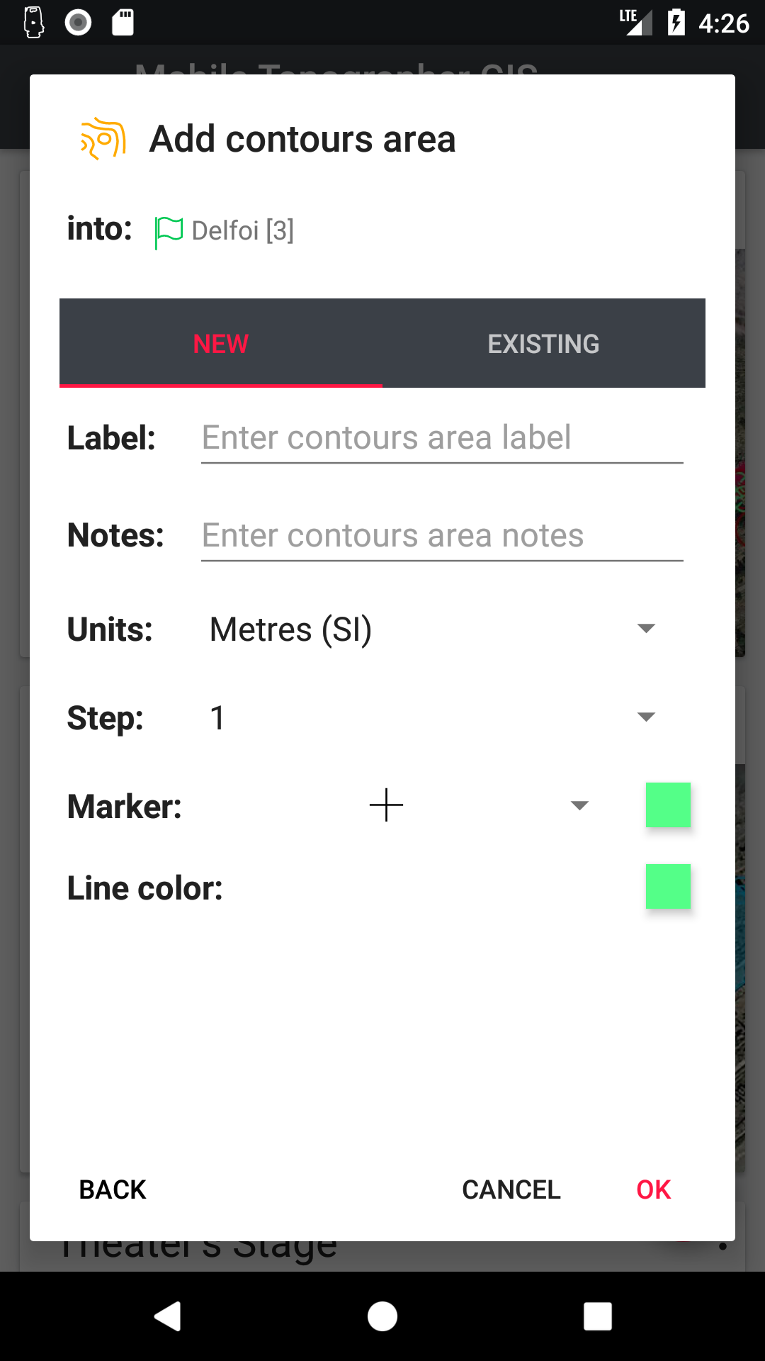
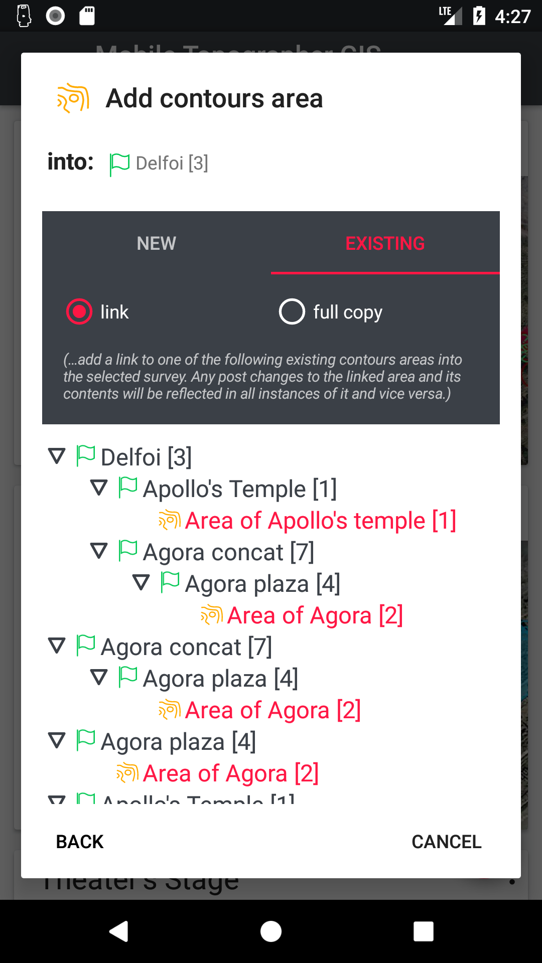
- Mobile Topographer GIS is Introducing “unlimited nesting & linking” technology for mobile surveys! It supports endless nesting of Jobs (surveys) and other objects. An update to any linked object updates any other instance of it automatically in real time! Collaboration and job sharing has never been easier.
- Mobile Topographer GIS stores its data into a specially designed SQL database, giving a robust fail-safe environment, and the convenience to send or store raw data in any type of device easily.
- Using all late evolutions in mobile technology (like multithreading), Mobile Topographer GIS ensures that your mobile device can handle literally unlimited amounts of data in lightning speeds!
Welcome to the era of mobile surveying!


User’s manual…
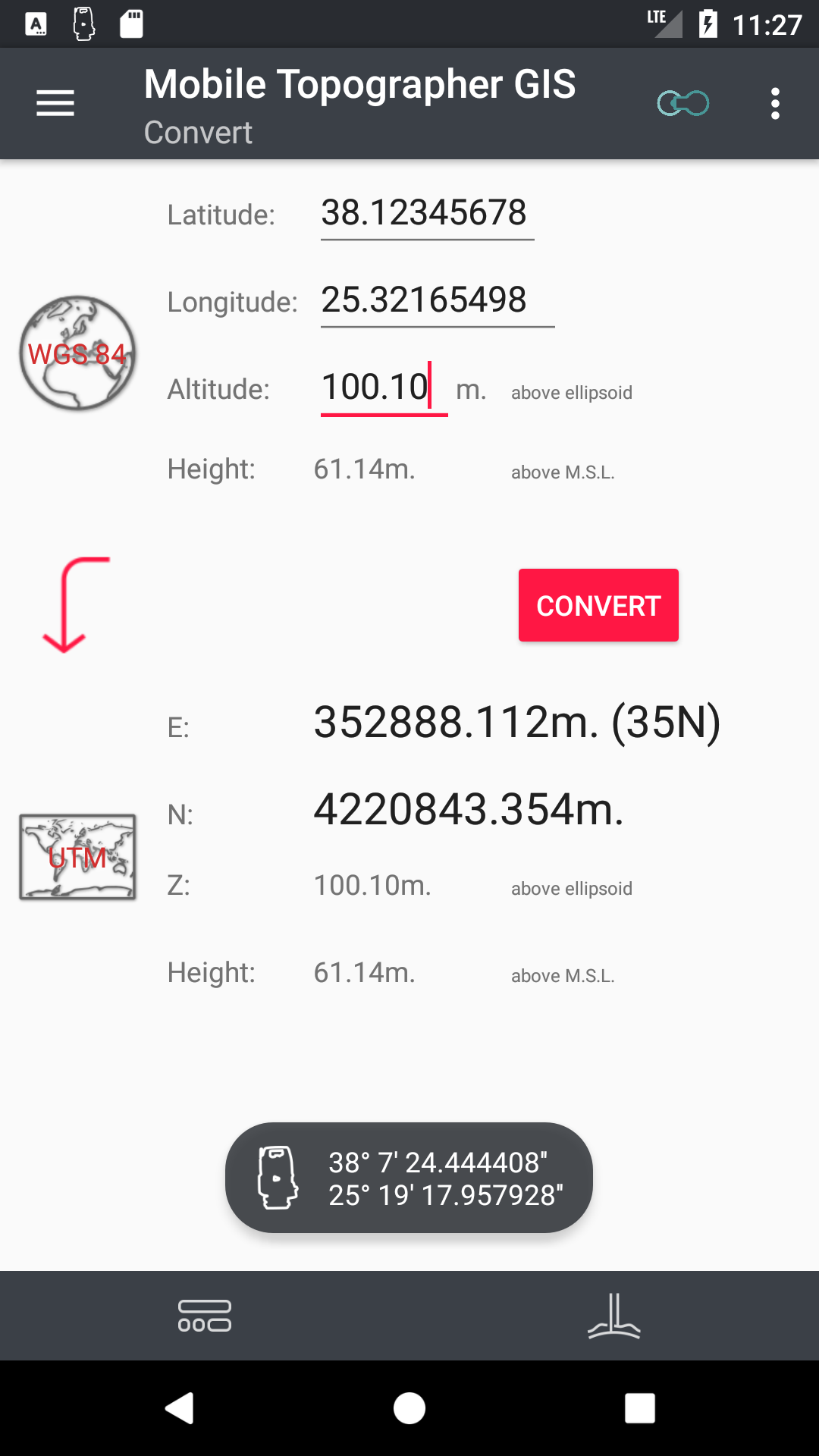
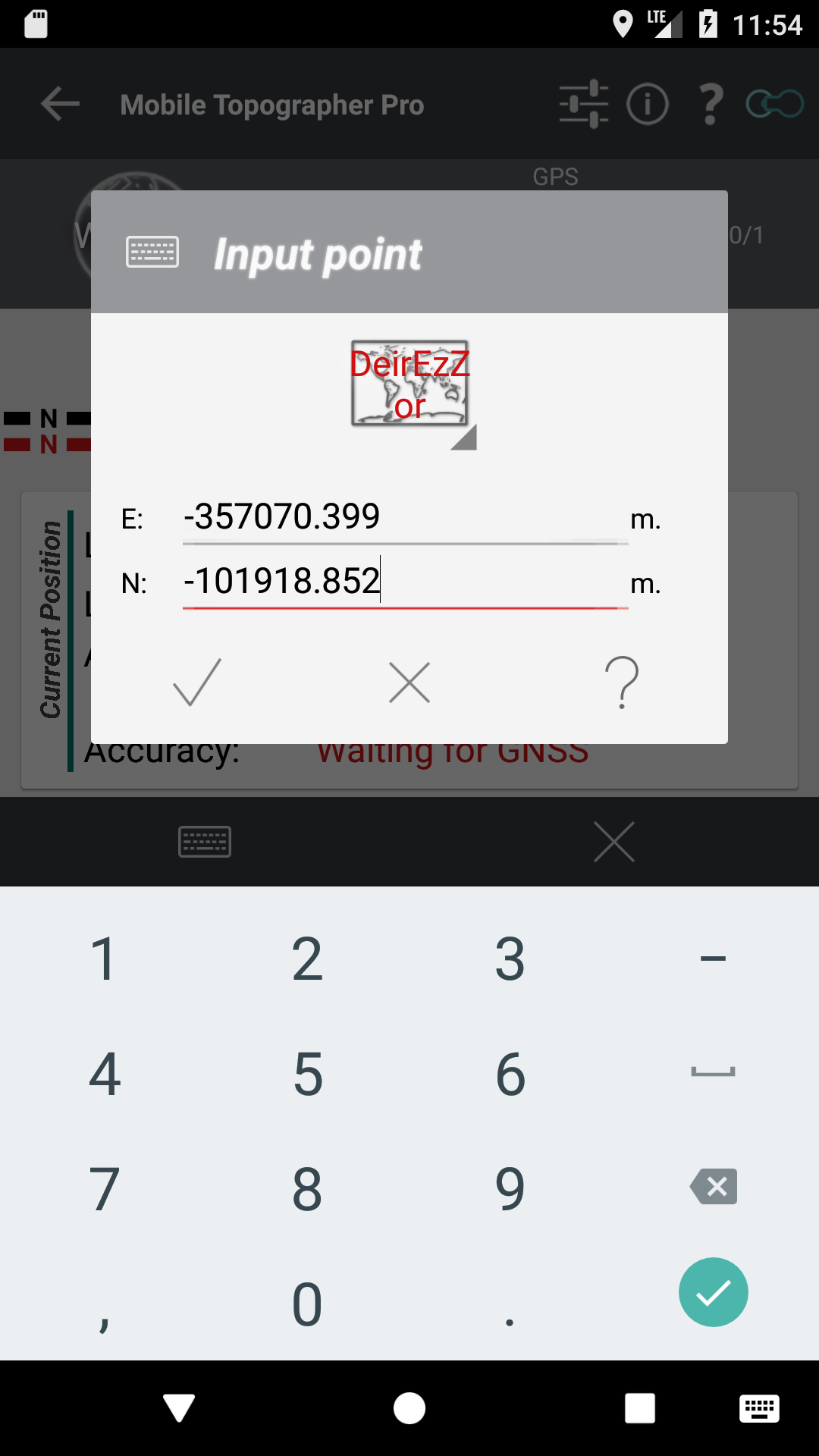
Supported Coordinates Reference Systems…
Privacy Policy